Surveying with Precision, Solving with Purpose
We know that inaccurate or incomplete survey data can lead to costly project delays, unexpected field conflicts, and frustrated stakeholders. That’s why our Survey Services team is built not just to collect coordinates—but to uncover clarity. From boundary disputes and inaccessible easements to aging infrastructure with limited records, we help communities, utilities, and project teams make informed decisions with confidence. Whether you’re launching a capital improvement plan, managing complex site constraints, or updating GIS databases, we work side-by-side with your team to deliver actionable insights, not just measurements. With licensed professionals, state-of-the-art equipment, and a problem-solving mindset, Wessler’s survey solutions are built to anticipate challenges and move your project forward—on time, on budget, and on solid ground.

Our Services
State & Local Agency Research
- Section corner Ties, NGS Monuments
- Record Deeds, Maps, Easements, Plats of Survey & Subdivision Plats
- Road & Highway Records
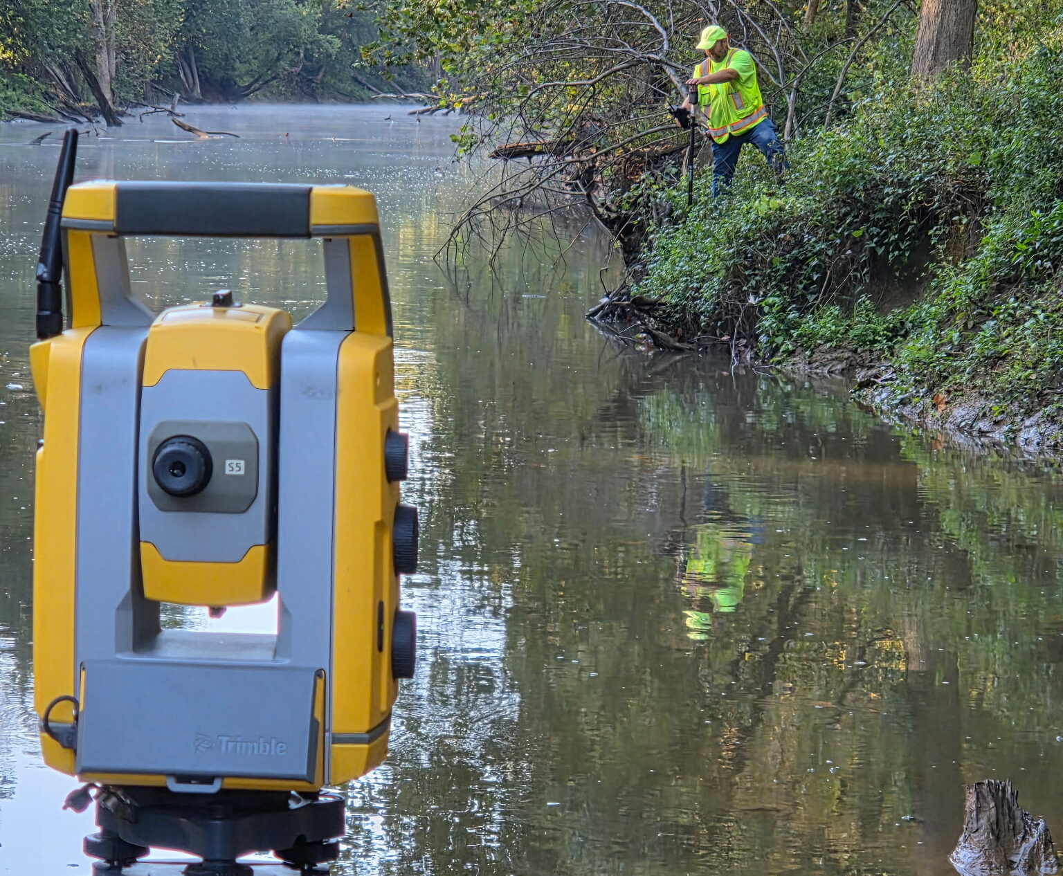
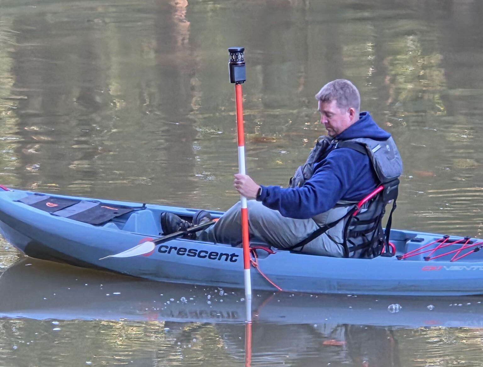
Conduct Topographic Surveys
- Prepare a Survey Notification Letter with PROJECT Information for OWNER to Distribute to Residents.
- Locate Existing Surface Features & Elevations, Utility Markings & Features that are Required for the Design of the PROJECT.
- Determine Surface Elevations
- Locate Other Visible & Accessible Physical Features
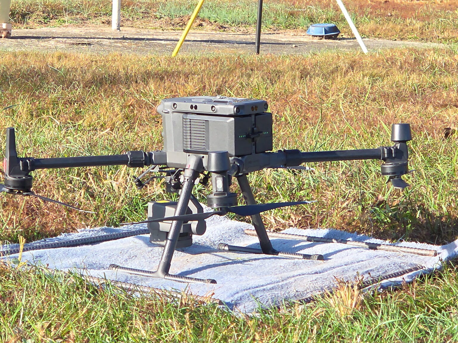
High Quality Equipment
- Drones
- Digital Levels
- Trimble GPS Receivers & Base Stations
- Trimble Robotic Total Stations
- Trimble Business Center for Data Processing & Monitoring
- AutoCAD (Civil3D)
- Microsoft Products for Exceptional Support
Establish Horizontal & Vertical Control
- Set & Establish Permanent Control Points, Benchmarks & Networks to be Used During the Survey & Construction Phases
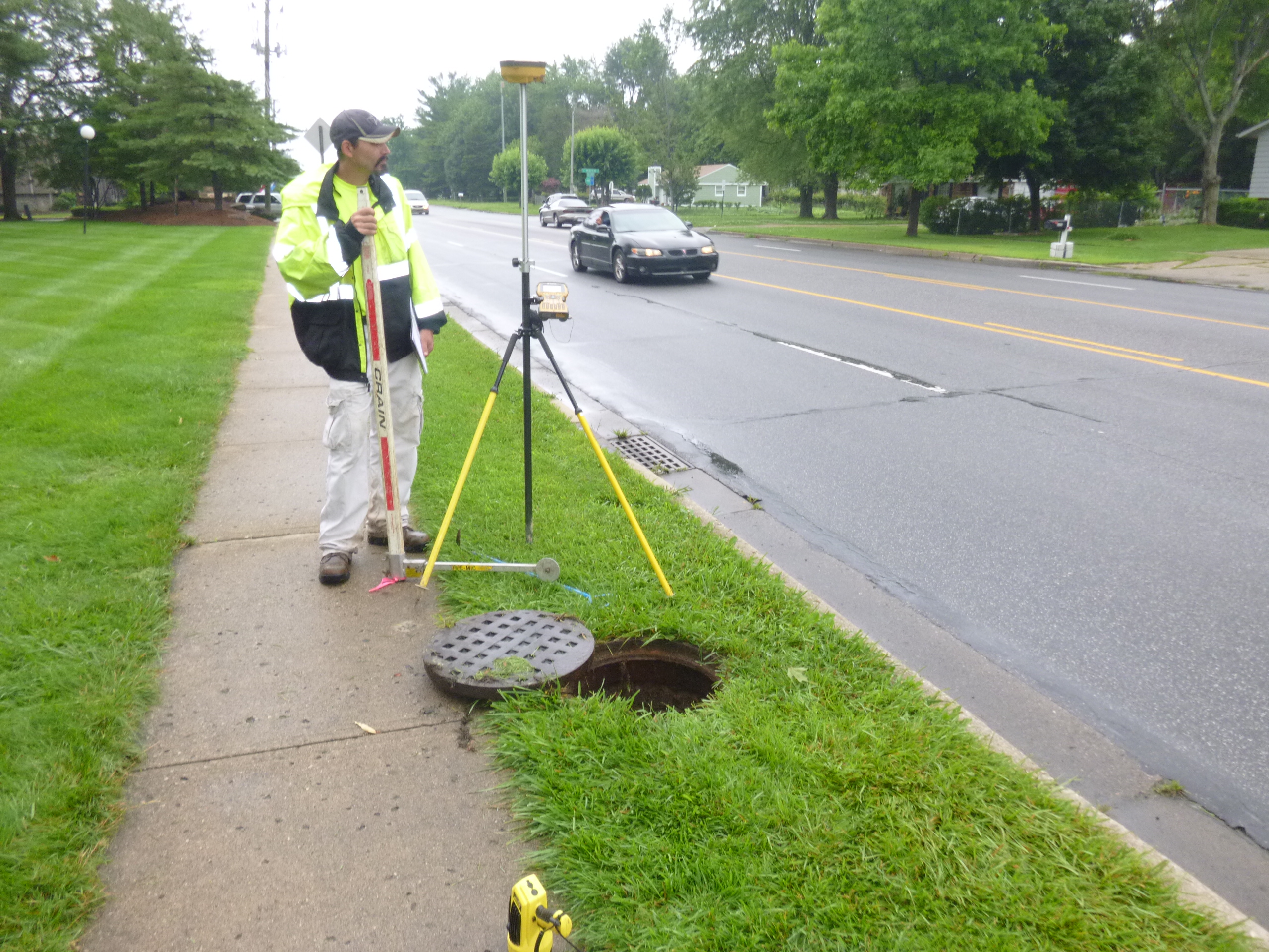
Gather Field Survey Data on Existing Storm & Sanitary Structures
- Provide Location Descriptions
- Photograph & Video Each Structure
- Determine Structure Type
- Establish State Plane Coordinates
- Determine Elevation & Diameter of New and/or Existing Structures
- Establish Flow Direction
- Assess Structure Materials & Conditions
Additional Services
- Route Surveys
- Boundary/Land Title Surveys
- 3-D Mapping
- Global Positioning System (GPS) Control Surveys
- Easement and Right-of-Way (ROW) Document Preparation & Staking
- Land Acquisition Management Services