Southside Manhole Inspection and Mapping
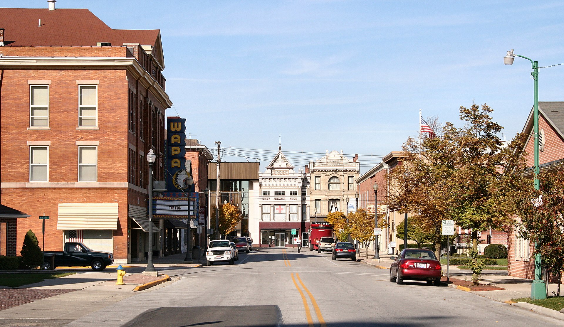
Wapakoneta, Ohio

Wessler staff was hired to map, record invert depths and perform initial inspections of 636 sanitary and combined sewer manholes located in the south half of the City’s collection system. Data was collected using Trimble GPS equipment coupled with ArcGIS Online to allow for seamless collection of field data and photos. Inspection and mapping data were provided to the City’s GIS staff as a single file geodatabase for incorporation into the City’s system mapping.

